This research output has no data
Metadata
| Field | Value |
|---|---|
| Title | Manitoba Métis Federation Weather Keeper Program |
| Research Program Name | MMF Weather Keeper Program |
| Keyword Vocabulary | Polar Data Catalogue |
| Keyword Vocabulary URL | https://www.polardata.ca/pdcinput/public/keywordlibrary |
| Website | |
| Theme |
Atmosphere
Freshwater |
| Status | In Progress |
| Project DOI | |
| Metadata Creation Date | 2022 |
| Publisher | CanWIN |
| Related Facilities |
| Field | Value |
|---|---|
| Project extent | |
| Project Area | Lake Manitoba, Lake Winnipegosis |
| Spatial regions | Manitoba Great Lakes |
| Spatial extent West Bound Longitude | |
| Spatial extent East Bound Longitude | |
| Spatial extent South Bound Latitude | |
| Spatial extent North Bound Latitude | |
| Temporal extent | |
| Project Start Date | 2020-04-01 |
| Project End Date |
| Field | Value |
|---|---|
| Project Contributors | |
| Principal Investigators |
|
| Co-Investigators |
|
| Project Data Curator | Petrynko, Jenny |
| Project Data Curator email | jenny.petrynko@mmf.mb.ca |
| Project Data Curator Affiliation | Manitoba Métis Federation |
| Funder Information | |
| Awards |
| Field | Value |
|---|---|
| License Name | Creative Commons Attribution 4.0 International |
| Licence Schema Name | SPDX |
| Licence URL | https://spdx.org/licenses |
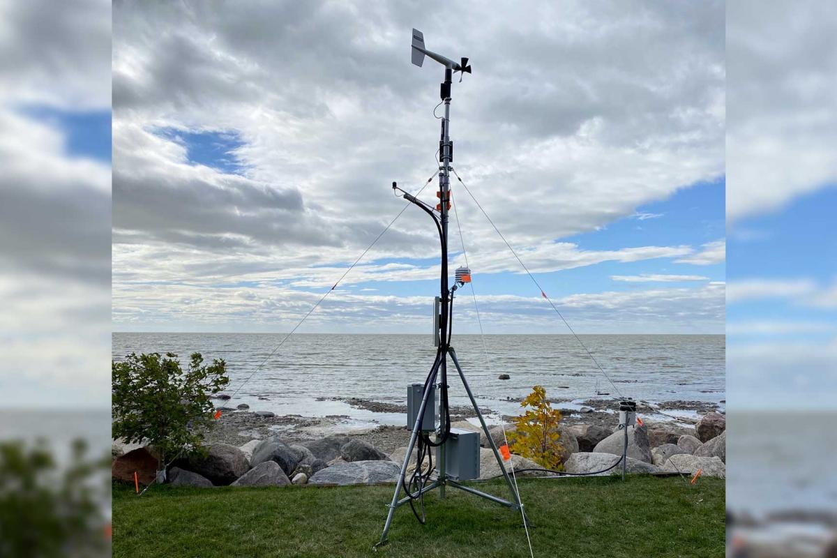
| Terms of Access | CanWIN datasets are licensed individually, however most are licensed under the Creative Commons Attribution 4.0 International (CC BY 4.0) Public License. Details for the licence applied can be found using the Licence URL link provided with each dataset. Wind and gust speeds reported at St Laurent Li Taan Aen Staansyoon indicate speeds that would be felt nearby on the lake only when the wind blows from SSW through W to NNW. The anemometer is sheltered from the full force of the wind by trees in other directions. Wind and gust speeds reported at Dawson Bay Li Taan Aen Staansyoon indicate speeds that would be felt nearby on the lake only when the wind blows from SE. The anemometer is sheltered from the full force of the wind by trees and a building in other directions. Wind and gust wind speeds are measured 3 m above the ground surface. Environment Canada and Manitoba Department of Agriculture weather stations report faster speeds because they are recorded on higher, 10 m towers. By using data and information provided on this site you accept the terms and conditions of the License. Unless otherwise specified, the license grants the rights to the public to use and share the data and results derived therefrom as long as the proper acknowledgment is given to the data licensor (citation), that any alteration to the data is clearly indicated, and that a link to the original data and the license is made available. |
| Terms of Use | By accessing this data you agree to CanWIN's Terms of Use. |