Searching for data using the CanWIN GeoPortal Geonode User Interface
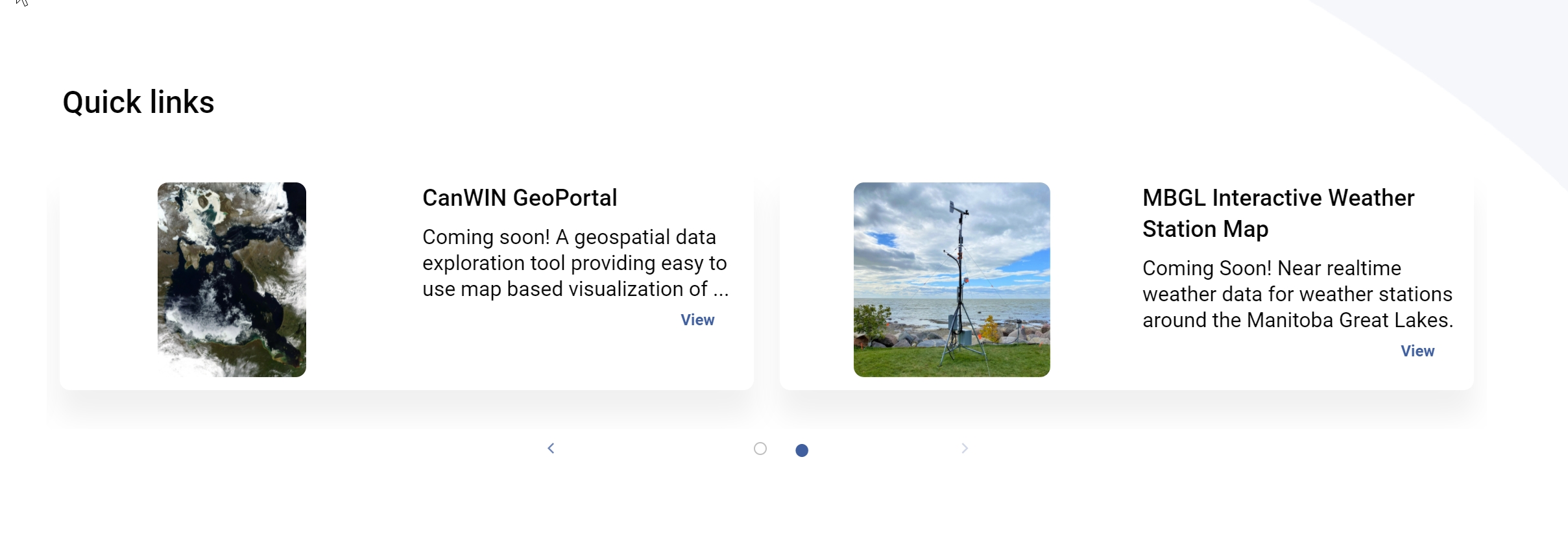
The CanWIN datahub Home page acts as the main entry point from which users can search for data held on any of our servers. Users are able to download data from the Dataset page - in addition, they are able to access additional features provided by our other servers (e.g. GeoPortal) from the Quick links bar on the Home page.
To share our geospatial data we use the Geonode platform. GeoNode is a platform for the management and publication of geospatial data. Data management tools built into GeoNode allow for integrated creation of data, metadata, and map visualizations. Each dataset in the system can be shared publicly or restricted to allow access to only specific users. Datasets located in Geonode are accessible in the main CanWIN datahub, but users can also use Geonode to create their own map visualizations. In Geonode, users can download individual data layers, or create a map from multiple layers.
View detailed Instructions on the Geonode site
Navigating Geonode
You can explore the existing data using many search tools and filters (see Finding Data) or through the links of the navigation bar at the top of the page.
There are three main types of resources that GeoNode can manage:
-
Documents
-
Datasets
-
Maps
Datasets, Documents and Remote Services can be accessed from the Data menu on the main navigation bar. The Maps menu item allows users to view any maps created in Geonode. The Dashboards menu item allows users to view any real-time dashboards created.