Data and Resources
Data
-
mooring example datasetCSV
with a preferred citation
-
test gml 3.1 layer geonodeWFS
Metadata
| Field | Value |
|---|---|
| Dataset Collection Start Date | 2022-08-01 |
| Dataset Collection End Date | 2022-07-12 |
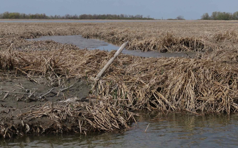
| Spatial regions | Churchill |
| Spatial extent West Bound Longitude | |
| Spatial extent East Bound Longitude | |
| Spatial extent South Bound Latitude | |
| Spatial extent North Bound Latitude |
| Field | Value |
|---|---|
| Sample Collection |
|
| Activity Collection Type | Field Measurement |
| Preferred citation | activity collection type method preferred citation |
| Analytical Instrument |
|
| Analytical Method |
| Field | Value |
|---|---|
| License Name | Creative Commons Attribution 4.0 International |
| Licence Type | Open |
| Embargo Date | |
| Licence URL | https://spdx.org/licenses |
| Terms of Access | CanWIN datasets are licensed individually, however most are licensed under the Creative Commons Attribution 4.0 International (CC BY 4.0) Public License. Details for the licence applied can be found using the Licence URL link provided with each dataset. By using data and information provided on this site you accept the terms and conditions of the License. Unless otherwise specified, the license grants the rights to the public to use and share the data and results derived therefrom as long as the proper acknowledgment is given to the data licensor (citation), that any alteration to the data is clearly indicated, and that a link to the original data and the license is made available. |
| Terms of Use | By accessing this data you agree to CanWIN's Terms of Use. |
| Field | Value |
|---|---|
| Dataset Authors |
|
| Contributors | |
| Project Data Curator | Herbert, Claire |
| Project Data Curator email | claire.herbert@umanitoba.ca |
| Project Data Curator Affiliation | Centre for Earth Observation Science - University of Manitoba |
| Awards |
|
| Field | Value |
|---|---|
| Related Resources |
|
| Field | Value |
|---|---|
| Publications |
|